Blackstone River Bikeway Fall Ride Guide Across the State Line
August 27, 2026
August 27, 2026
For years, riders coming north out of Cumberland and Lincoln have done the same thing at the same spot: pedaled to the sign marking the Rhode Island and Massachusetts border near Cold Spring Park in Woonsocket, taken a photo or a breath, and turned around. That spot has functioned as the trail's unofficial finish line since 2018, when Rhode Island paved the last stretch on its side. Massachusetts simply hadn't caught up.
That changed in November 2024, and most people who ride this trail regularly still don't know it.
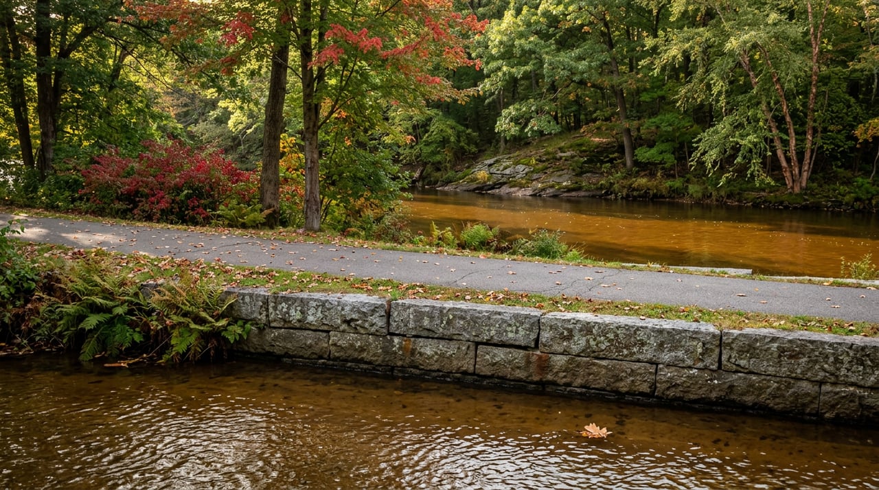
If you live along the Blackstone Valley corridor, you know the core run even if you've never mapped it out. It starts near Valley Falls Heritage Park in Cumberland, not far from Cumberland Town Hall, and heads north on a paved, mostly flat surface that follows the old Blackstone Canal on one side and the river on the other.
Within the first mile you cross a 540-foot elevated boardwalk over the Lonsdale Marsh, built so the path could pass through wetlands without disturbing them. Not far past that is the site of the old Lonsdale Drive-In, demolished years ago and partly returned to wetland, where the trailhead marquee still nods to its old use. From there the route crosses the Pratt Dam, also known locally as the Lonsdale Dam, where the spillway runs hard after storms, then continues into Blackstone River State Park in Lincoln.
At around the four-mile mark you reach the Capt. Wilbur Kelly House and Transportation Museum, a good rest stop with a bike repair station out back. The path keeps going past the Ashton Viaduct, across the river again near Albion, and past the Manville Dam around mile seven, one of four dams the trail passes on its way north. It ends, or used to end, at the River's Edge Recreation Complex on Davison Avenue in Woonsocket, a spot with restrooms, a snack bar, and a canoe launch, putting the whole contiguous off-road stretch at just over ten miles.
That's the ride most Providence County cyclists have in their heads. It's a good ride. It's also not the whole story anymore.
Here's the part that's easy to miss if you haven't looked closely at trail records: Rhode Island's side of the border was technically finished in 2018. That year, the Rhode Island Department of Transportation completed a 0.6-mile segment from Cold Spring Park in Woonsocket to Meadows Park in North Smithfield, right at the state line. The path physically reached the Massachusetts border eight years ago.
What it didn't do was connect to anything on the other side. Massachusetts still had a gap. So for six years, the trail reached the border and stopped, not because Rhode Island hadn't finished its job, but because the two states hadn't finished the same job at the same time.
Ask anyone who's ridden this stretch more than a few times and they'll tell you exactly where the trail "ends." It's rarely the actual end. It's just where the pavement used to stop making sense to keep following.
The town of Blackstone, Massachusetts closed that gap. A restoration project on the Blackstone Viaduct, a structure built in the 1870s, stabilized the original concrete arches and resurfaced the rail bed into an asphalt bikeway. The project cost $11.3 million and added roughly half a mile of new path, but that half mile did something the rest of the trail's incremental extensions hadn't managed in years: it linked a previously dead-end Rhode Island path to a continuous route running through the town of Blackstone, into Millville, and on to Uxbridge, Massachusetts.
At the ribbon-cutting, Devon Kurtz, executive director of the Blackstone River Valley National Heritage Corridor, showed up with a replica penny-farthing bicycle and pointed out that the corridor now counts more than 250 volunteers who ride the path, lead tours, and run cleanups throughout the valley. He also didn't pretend the job was finished. Woonsocket still has real gaps between paved sections, and Woonsocket Public Works Director Steve D'Agostino has acknowledged that a state plan to mark connector routes with painted bike lanes through the city has stalled.
So the honest version of the story is this: the Massachusetts side used to be the missing piece, and now it isn't. The Rhode Island side still has some rough seams, mostly inside Woonsocket itself, where riders currently rely on marked but unpaved connector routes, sometimes called sharrows, to link finished sections together. Four separate path segments were planned to carry the trail across the city to the border. As of the most recent state accounting, one of those is open, one is under construction, and two are still in design.
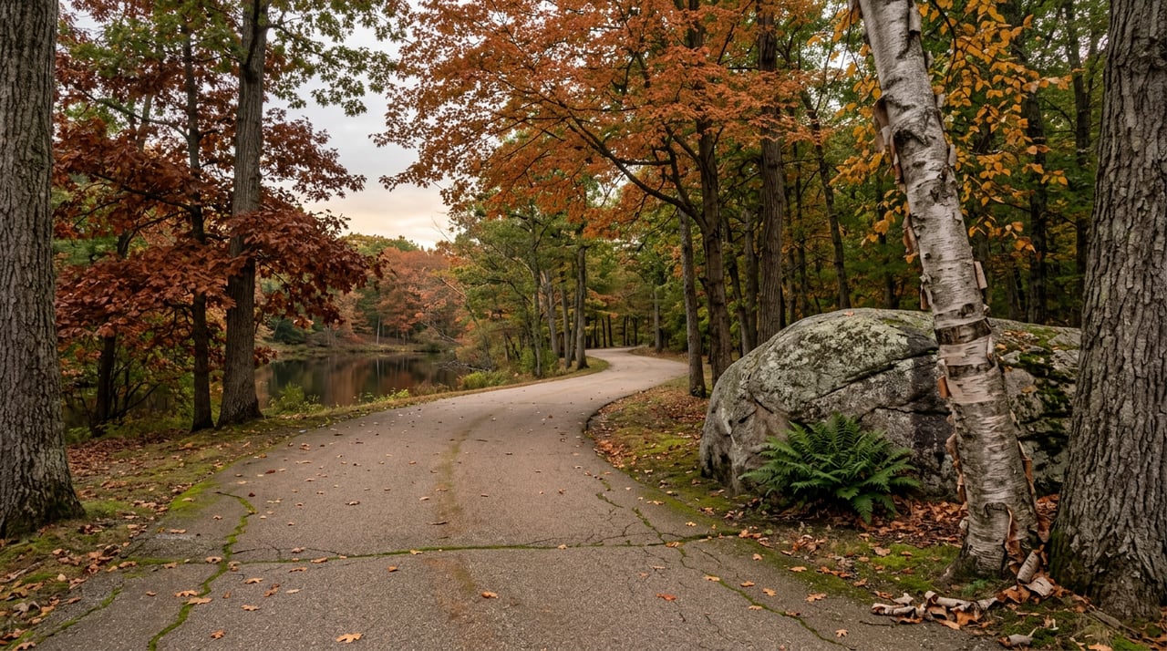
None of that should stop you from doing the ride while the foliage is turning, which longtime trail reviewers single out as the best time to be on this particular stretch. Here's a straightforward way to do it.
A few practical notes worth knowing before you go. The surface changes character more than once, smooth asphalt in most of the Rhode Island sections, older or narrower pavement in spots, and some GPS apps have trouble recognizing the River's Edge parking lot in Woonsocket as a destination, which can send you the wrong way before you've even started. The full ride from Cumberland to the Massachusetts viaduct and back covers real distance, so plan accordingly if you're bringing kids or a more casual rider.
If you want a reason to stop rather than just push through, Phantom Farms and Diamond Hill Vineyards both sit close to the Cumberland end of the trail and make a natural bookend to a ride that starts or finishes near Valley Falls. Woonsocket has also shown fresh energy around cycling in general. Local coverage has pointed to a strong turnout for the city's first "Woonie Crit" road race, a sign that interest in riding here isn't limited to the recreational trail crowd.
The Blackstone River Bikeway has grown in small, disconnected pieces for almost three decades, a tenth of a mile here, half a mile there, which is part of why so many longtime riders stopped paying attention to its edges. The finish line kept moving so slowly that it stopped feeling like it was moving at all. The November 2024 completion in Massachusetts is different because it doesn't just add distance, it removes an assumption. The place where you've been turning around isn't actually the end of the trail. It's the middle of a longer one that now happens to cross a state line.
That's a small thing to know about a bike path. It's also the kind of detail that tells you something true about living in this stretch of Providence County: the infrastructure people take for granted keeps changing quietly, a few hundred feet at a time, long after most residents have stopped checking.
If you're weighing a move somewhere along this corridor, from Cumberland to Lincoln to Woonsocket, and want a clearer read on what a specific street or neighborhood actually offers day to day, that's exactly the kind of local detail James Hall tracks for clients across Providence County. Reach out to schedule a free consultation and talk through what you're looking for.
Stay up to date on the latest real estate trends.

Get assistance in determining the current property value, crafting a competitive offer, writing and negotiating a contract, and much more. Contact me today.